|
|
|
Necessity of the reliable and up-to-date data/information, for the purpose of
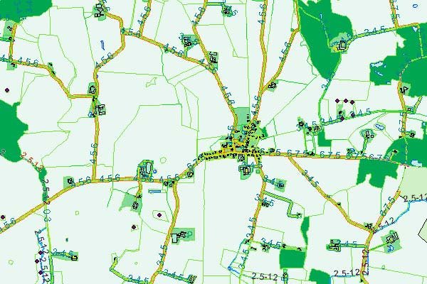
efficient planning and management, is unavoidable. Vector maps are the
representation of topographic mapping features consisting of point, line and
area. It consists of preparing vector or topographic data from stereo
aerial/RS images based on specification that usually used as an input for
both public and private administrative tasks and construction projects
right from the planning phase until the project terminates. Specification
for mapping of topographic and thematic features depends on the clients
requirements that vary with individual countries and projects.
Decode has an extensive experience in vector mapping where projects are
undertaken at all scales for national mapping and large scale engineering
design applications meeting all national and international specifications.
Our highly trained staff with a thorough knowledge of mapping specifications
and with the availability of high standard software and hardware, enables us to organize a large production in a quick and efficient manner. |
|
 |


